
This photo was taken out the front window of the motor home in the Boulder Creek RV Park about two miles south Of Lone Pine, CA. The mountain in the distance is Mt Whitney, the tallest mountain in the 48 contiguous staes, at 14,496 feet. I'll have more of this beautiful mountains later. Not sure what the tree flower is though.

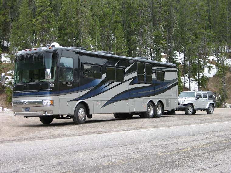
This is right outside in front of the motor home. The Sierra Madre crest mountain range is about 20 miles away.


This huge oak tree is in the same general vicinity of the burial plot of the 1872 victims.

This mule read the book. The bush is greener on the other side of the fence. :-) We turned right on Lone Pine Narrow Guage Road about a half mile north on US395 and headed east. This road was a combination paved/dirt for about 15 miles and eventually would run into Manzanar/Reward road. Reward was also the name of a gold mine, also called Eclipse, and was the most prolific gold producing mine in California. Here are a few pics we took as we passed by.

The ore cars/buckets were either railed or cabled down the hill to this device which "hoppered" the chunks into waiting wagons.

Using my zoom, I brought this shaft and down chute in from about a half mile away. It was too steep and dangerous for me to get much closer.

Below the hopper was this device which I think was a washer and shaker of the finer pieces of ore. Now, I am not a miner, or ever been in the business, so my descriptions could be way off base.

From Wiki:
Manzanar is most widely known as the site of one of ten camps where over 110,000 Japanese Americans were imprisoned during World War II. Located at the foot of the Sierra Nevada in California's Owens Valley between the towns of Lone Pine to the south and Independence to the north, it is approximately 230 miles (370 km) northeast of Los Angeles. Manzanar (which means “apple orchard” in Spanish) was identified by the United States National Park Service as the best-preserved of the former camp sites, and was designated the Manzanar National Historic Site.[7] We had no idea what this National Monument was before we arrived in the early afternoon. And, we didn't expect seven tour buses to be there full of tourists. It just happened to be Pilgrimmage weekend for those that were interred there during WW2. We had the pleasure to speak with two of those who were interred, two ladies. How pleasant they were and didn't seem to bitter at all, just accepting and understanding. There was a 22 minute video that was shown, and quite frankly, afterwards, I felt very uncomfortable to be in the presence of so many Japanese-Americans. There were probably close to 300 in the large monument grounds. I nearly teared when talking to some of these people, I felt so ashamed.

One of the exact replica barracks type apartments on the grounds. There were two of these.

This was the reconstructed mess hall.


The large wood-burning kitchen oven.

One of the many storyboards in the mess hall.

All the buildings that housed the 10,000 plus internees, and the huge staff of Manzanar, was torn down shortly after the war ended. But the square mile compound is marked off where all the buildings once stood. The large building had numerous exhibits and storyboards with saddening stories and photos from the period.


Earlier in the morning on Saturday before going to Manzanar, we took a ride up the Mount Whitney Portal Road, 13 miles straight up from downtown Lone Pine. Along the way we snapped off the above photos.
Once there, we discovered a small picnic area and some trailheads and 40 degrees and lots of snow. And, this most lovely little babbling brook full of life and cold water. Here are a few pics.


Note the icicles.


Nancy in front of the brook. I wish I could share with you the sound this little brook was joyfully making as it rushed downed the steep hillside. It was a very relaxing hour at 8,300 feet.

A Steller Jay was flipping about looking for a morsel here and there.


Well, so ends another journey of the RVing Beach Bums. Next blog will be about another trip up the Sierra Crest from the little town of Independence, about 15 miles up the road from Lone Pine. So, till the next time, Joe & Nancy.
very nice post. I would love to go to Manzanar someday. Being, japanese-american I've read about it and the other internment camps. The Bayfield Bunch mentioned you blog, so I had to visit. That and my parents are Joe & Nancy. I just couldn't resist.
ReplyDeleteWe had no idea about the Manzanar camp either until we arrived in Lone Pine & picked up a handfull of area brochures. We drove around the road that ringed the camp & could see there were many memories left. Very few people there when we toured the Museum so it was peacefully quiet amid all the memorable displays. Nice to see photos of the great mountains again.
ReplyDeleteJoe and Nancy, it was good to meet up with you briefly yesterday. Too bad we had just arrived and you were just leaving. But now we have found each other, let's keep exchanging blogs. Noted that neither you nor we got out last evening. Hope I can get one posted today!
ReplyDelete